Identifying transit deserts for low-income commuters in Wuhan Metropolitan Area, China

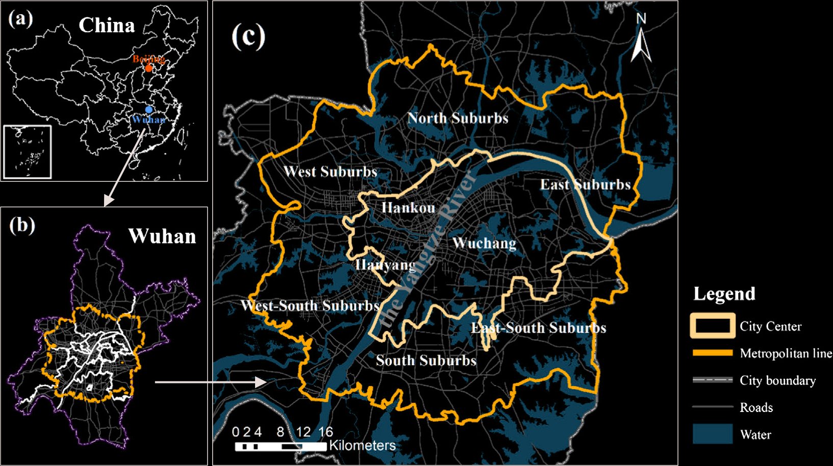
Study area.

Spatial distributions of income (left) and transit-dependent commuters (right).

Abstract

This research examines the spatial patterns of transit systems and commuter flows in the Wuhan Metropolitan Area, China, using Baidu users’ location data. It identifies transit deserts that particularly affect low-income commuters. The study reveals several key findings: Firstly, most transit demand originates from trips between neighboring communities, while transit supply is concentrated between distant communities. Secondly, approximately 11.21% of low-income commuters are affected by transit deserts, with the majority commuting within city centers or suburbs, rather than between them. Thirdly, transit deserts for low-income suburban commuters are characterized by low-density infrastructure and infrequent services, hindering regional connectivity. Conversely, for low-income city center commuters, transit deserts stem from high competition for limited transit supply. This research sheds light on the relationship between transit systems and commuting demand in a major Chinese metropolitan area, offering insights for future transit system planning locally and globally.


Team

Mingming Cai, Junfeng Jiao,
Minghai Luo, Yanfang Liu

Acknowledgements

This study was supported by the Wuhan Geomatics Institute and National key research and development program project “unified expression, aggregation and visualization mining of geographic big data” (Grant No: 2017YFB0503601). The research was also supported by the consortium of Cooperative Mobility for Competitive Megaregions (CM2) in the University of Texas at Austin.

The cover image is sourced from Pexels, is free of copyright issues, and can be used for educational purposes. https://help.pexels.com/hc/en-us/articles/360042295174